We offer our services to multiple industries such as:
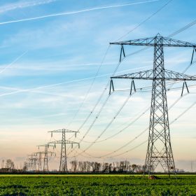
Power Utilities
- New line route survey
- Existing line for sag measurements and maintenance
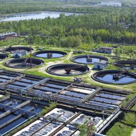
Water utilities
- Proposed pipeline routes surveys
- Data for flood line mapping
- Dam, rivers and water bodies monitoring
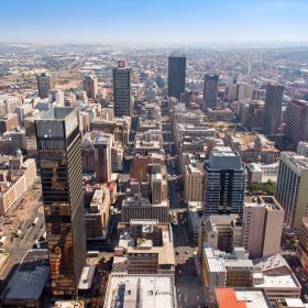
Municipalities
- Road infrastructure route surveys
- Township development planning
- Power servitude’s planning surveys
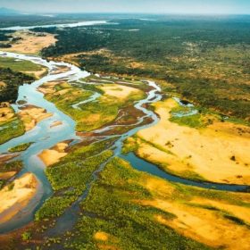
Forestry
- Biomass estimation for Harvesting
- Canopy height monitoring
- Slope monitoring
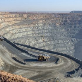
Mining
- Stockpile Volume Calculations
- Mine pit measurement
- Slope Monitoring
- GIS services
- Geotechnical services
- Hyperspectral mineral detection
Deliverables
- Detailed digital Terrain Model (DTM) and digital Surface Model (DSM)
- Accuracies within 10cm vertical and horizontal RMSE
• Laser point data
• Contours
• Ortho-rectified Images
• Data Analysis Reports