Thermal Imagery
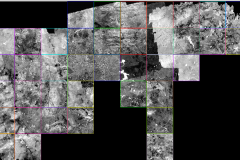
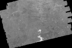
Is the process of converting infrared (IR) and radiation (heat) collected through a sensor into visible geo-referenced images that depicts spatial distribution of temperature differences.
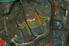
We provide a solution for individual pixel temperature readings which are automatically picked up by the software, of heat on a heat scale basis using all the pixels (temperature readings) of the surrounding area. Mapped hotspots are then extracted in CAD compatible formats.
