Satellite Imagery
We collect and produce orthorectified images and 3D DTMs using CAD and GIS applications using high resolution satellite imagery.
The extraction and manipulation and supplementation of features on the data-sets provide detailed information to a broad spectrum of industries.
Our team of experts specialize in:
- GIS solutions through data supplementation
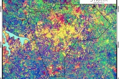
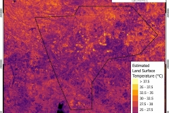
- Land cover mapping and classification
- Feature extraction
- NDVI (Normalized Difference vegetation Index) classification and mapping.

